12.2 Case Study: Landslide Susceptibility
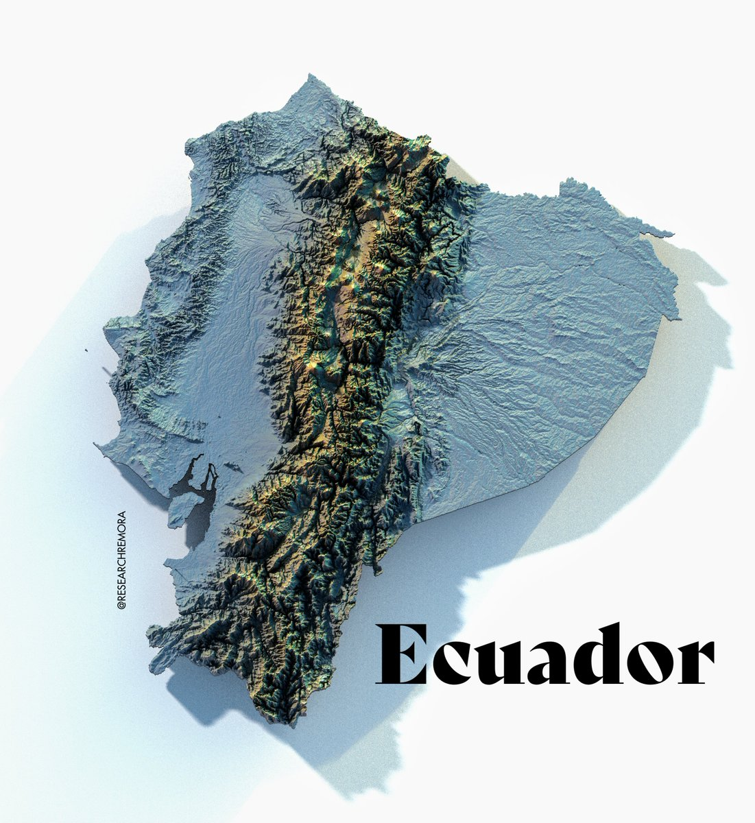
Rayshader map by (ResearchRemora?)
This case study is based on a dataset of landslide locations in Southern Ecuador and described in detail in Muenchow, Brenning, and Richter (2012)
data("lsl", "study_mask", package = "spDataLarge")
ta = terra::rast(system.file("raster/ta.tif", package = "spDataLarge"))str(lsl, give.attr = FALSE)## 'data.frame': 350 obs. of 8 variables:
## $ x : num 713888 712788 713408 714888 715248 ...
## $ y : num 9558537 9558917 9560307 9560237 9557117 ...
## $ lslpts : Factor w/ 2 levels "FALSE","TRUE": 1 1 1 1 1 1 1 1 1 1 ...
## $ slope : num 33.8 39.4 37.5 31.5 44.1 ...
## $ cplan : num 0.02318 -0.03864 -0.01333 0.04093 0.00969 ...
## $ cprof : num 0.00319 -0.01719 0.00967 0.00589 0.00515 ...
## $ elev : num 2423 2052 1958 1969 3008 ...
## $ log10_carea: num 2.78 4.15 3.64 2.27 3 ...study_mask## Simple feature collection with 1 feature and 1 field
## Geometry type: POLYGON
## Dimension: XY
## Bounding box: xmin: 712112.8 ymin: 9556864 xmax: 715794 ymax: 9560905
## Projected CRS: WGS 84 / UTM zone 17S
## # A tibble: 1 × 2
## landuse geometry
## <chr> <POLYGON [m]>
## 1 natural ((714111.8 9560805, 714118.6 9560805, 714172.2 9560812, 714227.2 9560…ta## class : SpatRaster
## dimensions : 415, 383, 5 (nrow, ncol, nlyr)
## resolution : 10, 10 (x, y)
## extent : 711962.7, 715792.7, 9556862, 9561012 (xmin, xmax, ymin, ymax)
## coord. ref. : WGS 84 / UTM zone 17S (EPSG:32717)
## source : ta.tif
## names : slope, cplan, cprof, elev, log10_carea
## min values : 0.00000, -25.697536, -0.3194027, 1711.204, 2.000000
## max values : 76.17377, 4.267366, 0.1368342, 3164.165, 5.733915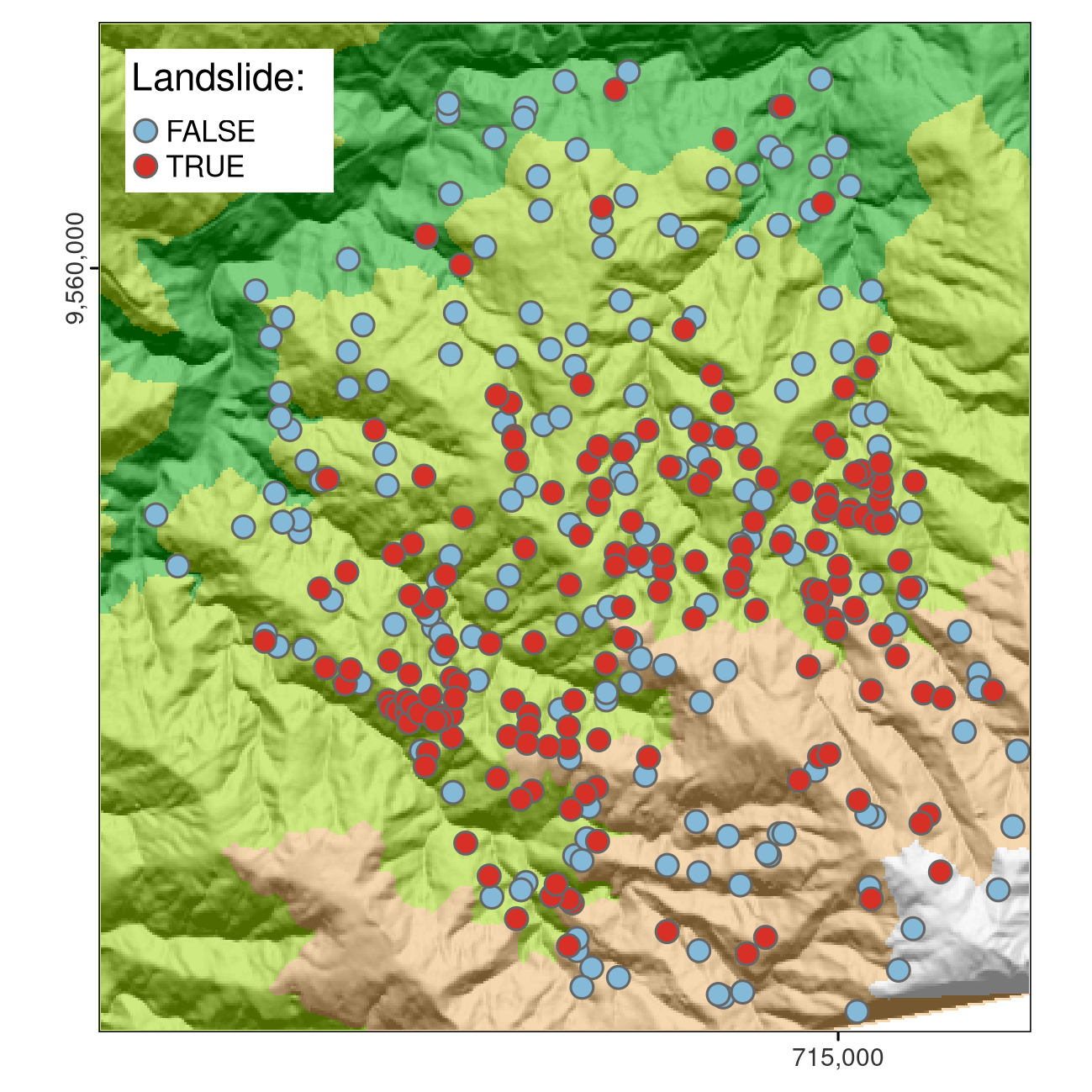
12.2.2 Predictor Variables
slope: slope angle (\(^\circ\))cplan: plan curvature (rad \(m^{−1}\)) expressing the convergence or divergence of a slope and thus water flowcprof: profile curvature (rad \(m^{−1}\)) as a measure of flow acceleration, also known as downslope change in slope angleelev: elevation m.a.s.l. (mean above sea level) as the representation of different altitudinal zones of vegetation and precipitation in the study arealog10_carea: the decadic logarithm of the catchment area (\(\log_{10} m^{2}\)) representing the amount of water flowing towards a location