12.3 Make a Map
library(tidyverse)
library(sf)
library(rnaturalearth)
africa <- ne_countries(continent = "Africa",
returnclass = "sf")
# Africa with colours
ggplot(data = africa) +
geom_sf(aes(fill=name),
color= "white",
linewidth = 1,
show.legend = F) +
coord_sf() +
ggthemes::theme_map() +
labs(title = "Africa",
subtitle = "Countries in Africa",
caption = "Sample data from rnaturalearth") +
# add north arrow
ggspatial::annotation_north_arrow(which_north = "true",
style = ggspatial::north_arrow_fancy_orienteering()) +
# add scale bar
ggspatial::annotation_scale(location = "tr",
pad_y = unit(0.1, "cm")) 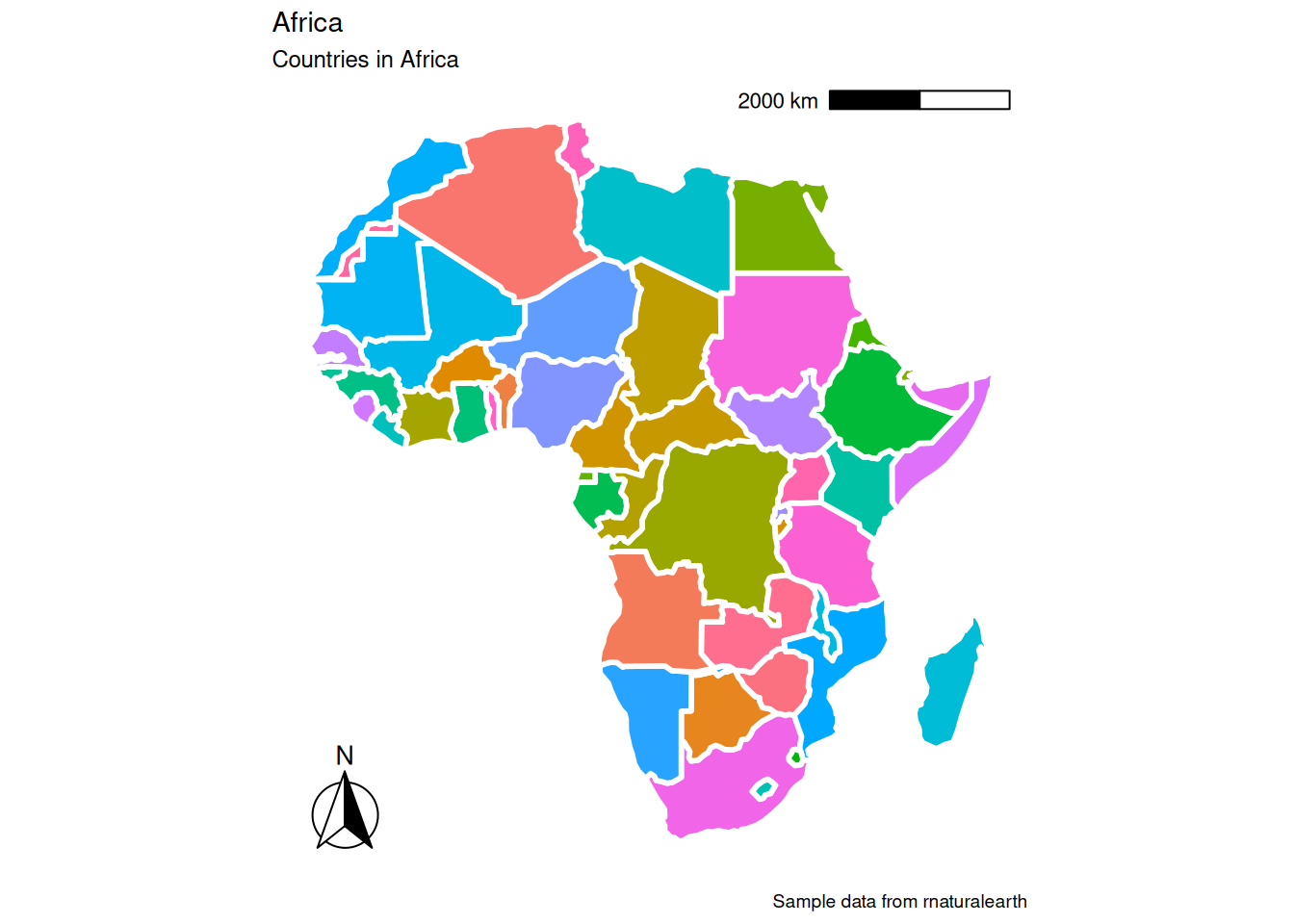 ## Coordinate Reference System (CRS)
## Coordinate Reference System:
##   User input: WGS 84
##   wkt:
## GEOGCRS["WGS 84",
##     DATUM["World Geodetic System 1984",
##         ELLIPSOID["WGS 84",6378137,298.257223563,
##             LENGTHUNIT["metre",1]]],
##     PRIMEM["Greenwich",0,
##         ANGLEUNIT["degree",0.0174532925199433]],
##     CS[ellipsoidal,2],
##         AXIS["latitude",north,
##             ORDER[1],
##             ANGLEUNIT["degree",0.0174532925199433]],
##         AXIS["longitude",east,
##             ORDER[2],
##             ANGLEUNIT["degree",0.0174532925199433]],
##     ID["EPSG",4326]]